/01
Boundary Survey
Definitive property lines, monuments set, and a sealed plat — the ground truth for fence disputes, sales, and subdivisions.
Licensed Union Construction and Land Surveying Company
Bullseye Survey, a division of Gomez Engineering, Architecture & Survey · SBE/DBE/MBE certified
Bullseye Survey is a construction and land surveying company serving New York and New Jersey — delivering construction, boundary, topographic, ALTA/NSPS, and FEMA elevation surveys with the rigor your project demands.
Meeting Your Goals
A minority-, disadvantaged-, and small-business enterprise registered with every certifying body that matters in the tri-state procurement landscape.
Certified for set-aside and goal-driven contracting across NY State and NYC.
Eligible on USDOT-funded work — PANYNJ, MTA, NJ Transit, and federal-aid projects.
Registered with NYC SBS and NJ UCP for small-business goal participation.
Registered with
Working alongside the agencies, developers, GCs, and counsel that build the tri-state
01 — Services
Whether you're closing a deal, breaking ground, or fighting flood-zone designation, we deliver the legal-grade documentation your designers, engineers, attorneys, and lenders need.
Definitive property lines, monuments set, and a sealed plat — the ground truth for fence disputes, sales, and subdivisions.
Contour mapping, spot elevations, utilities, and improvements — plus final as-built topos that close out DOB and agency sign-offs.
Documenting fences, walls, eaves, and improvements that cross record lines — the evidence your attorney needs to resolve, remove, or grant easement.
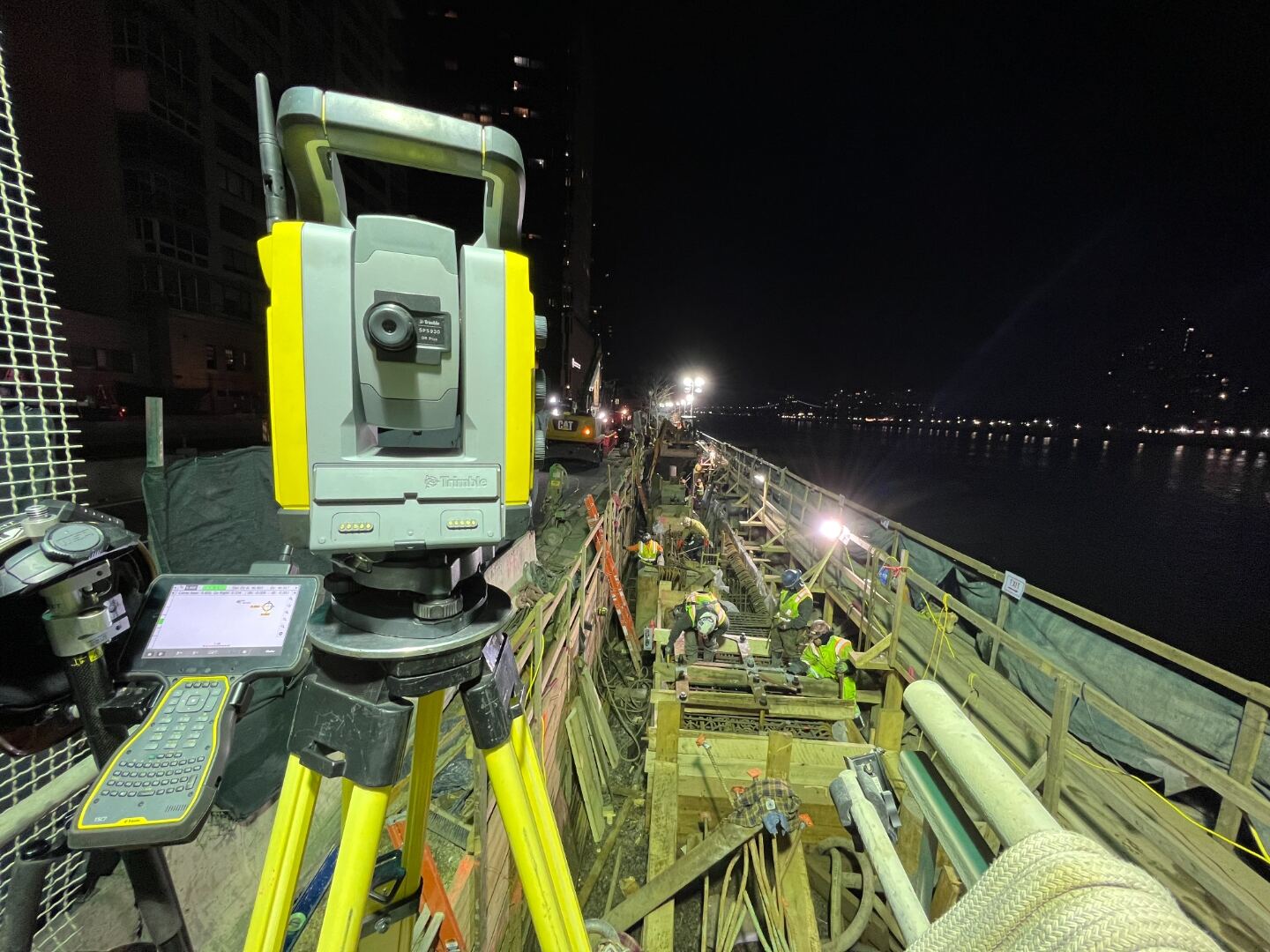
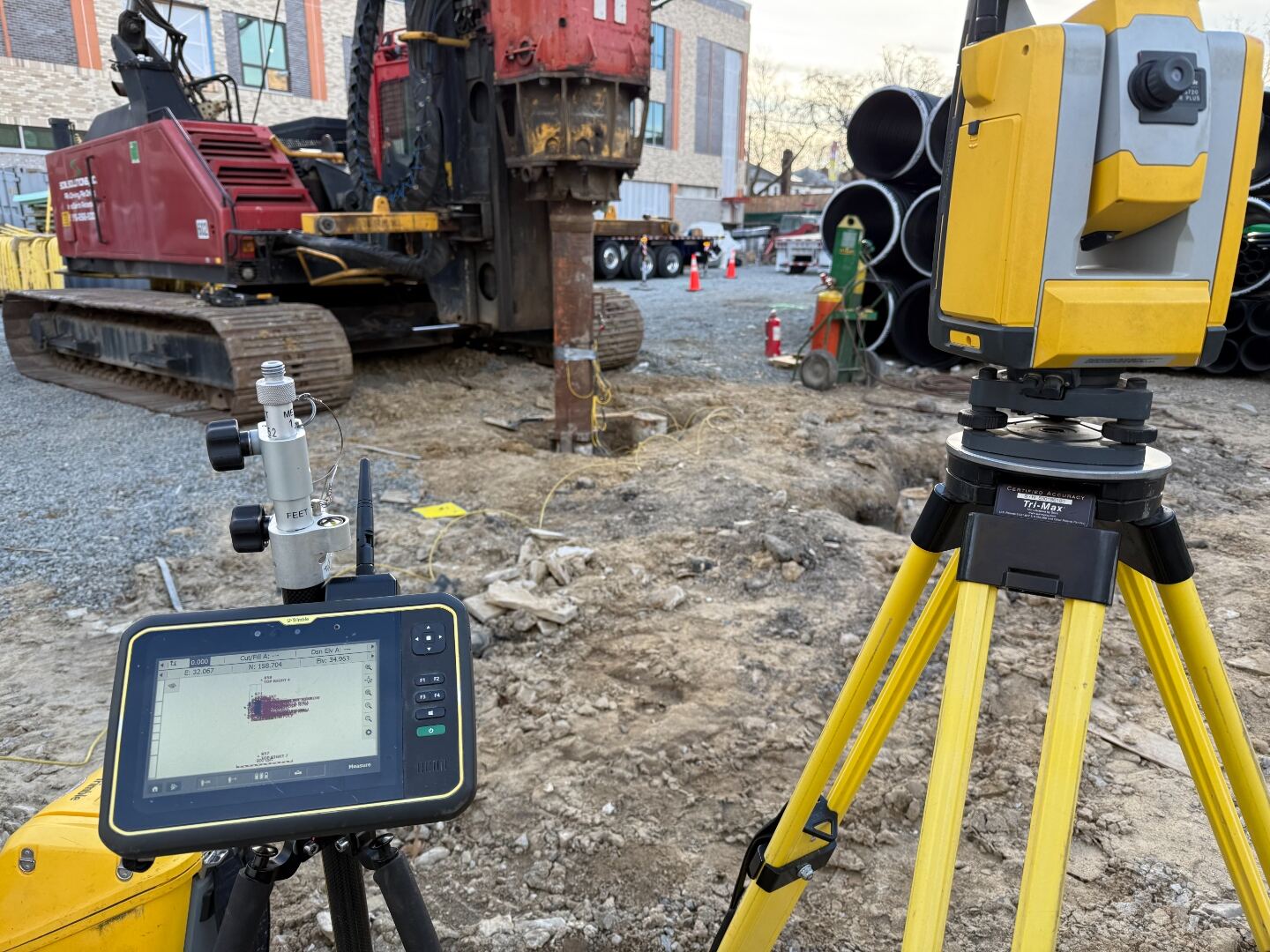
Stake-out for foundations, columns, utilities, and curb. We translate your design drawings into precise field control — on schedule, every pour.
Subdivision plats, lot-line adjustments, and zoning lot mergers — coordinated with planning boards, DOB, and city surveyor offices.
Volumetric airspace surveys for transferable development rights (TDR) and zoning lot mergers — quantified to the cubic foot.
Instrumented monitoring of support-of-excavation systems — tiebacks, sheeting, and lagging — with the threshold reporting DOB TR-4 sign-offs require.
Pre-construction baseline + scheduled re-observation of adjacent structures. Reports your DOB-mandated SOE protection plan calls for.
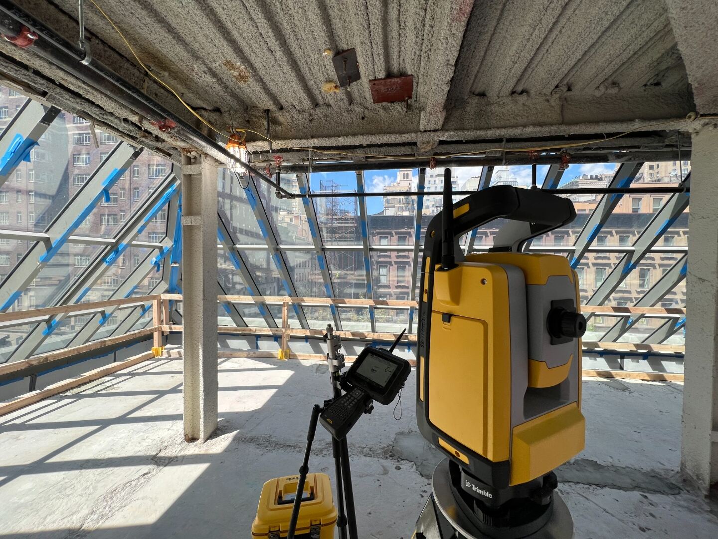
High-density point clouds (sub-cm) for as-built BIM, historic preservation, and forensic measurement — registered to project control.
Part 107-licensed aerial mapping — orthomosaics, DSMs, contour models, and stockpile volumes for sites where traditional fieldwork is impractical.
FAA-certified pilots for photo & video capture, façade and roof inspection, progress reels, and marketing flyovers — broadcast-quality deliverables.
Slope, cross-slope, and clear-width verification of paths, ramps, and parking — with reports keyed to ADAAG / ICC A117.1 thresholds for code submission.
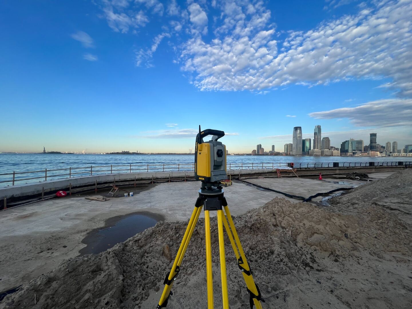
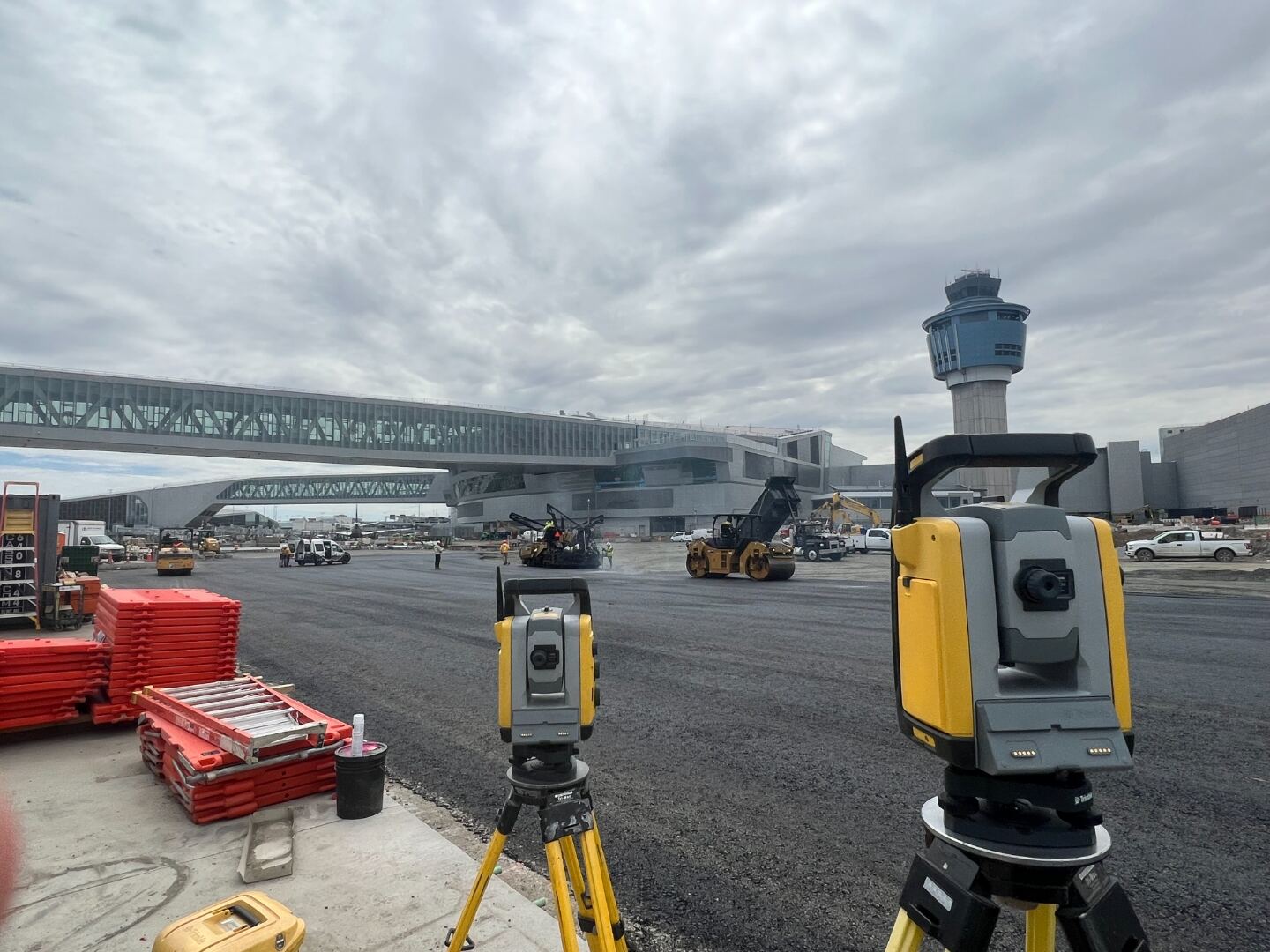
Sealed control reports formatted for agency submittal — NYCDOT, NYSDOT, MTA, Amtrak, Port Authority, and DOB. Closed-polygon traverse with NGS OPUS-tied base, NAD83 (2011) NY-LI State Plane and NAVD88 GEOID 18 — routinely delivered above First-Order Class I vertical closure for design-grade construction.
Site design, land development, engineering analysis, constructability review, and value engineering — from the parent firm’s P.E. roster.
Schematic design, code-compliance review, and full DOB filing sets — R.A.-led services that pair with our survey work for single-source delivery.
ALTA/NSPS title surveys, FEMA elevation certificates, Façade · Local Law 11 / FISP support, 3D modeling & CAD, easements, condo plats, monitoring-well location, expert-witness testimony — if it touches the ground, ask us.
Talk to a surveyor →02 — Featured Projects
A selection of projects spanning major development, energy, transportation, private boundary disputes, commercial title transactions, vertical construction, and FEMA elevation work.
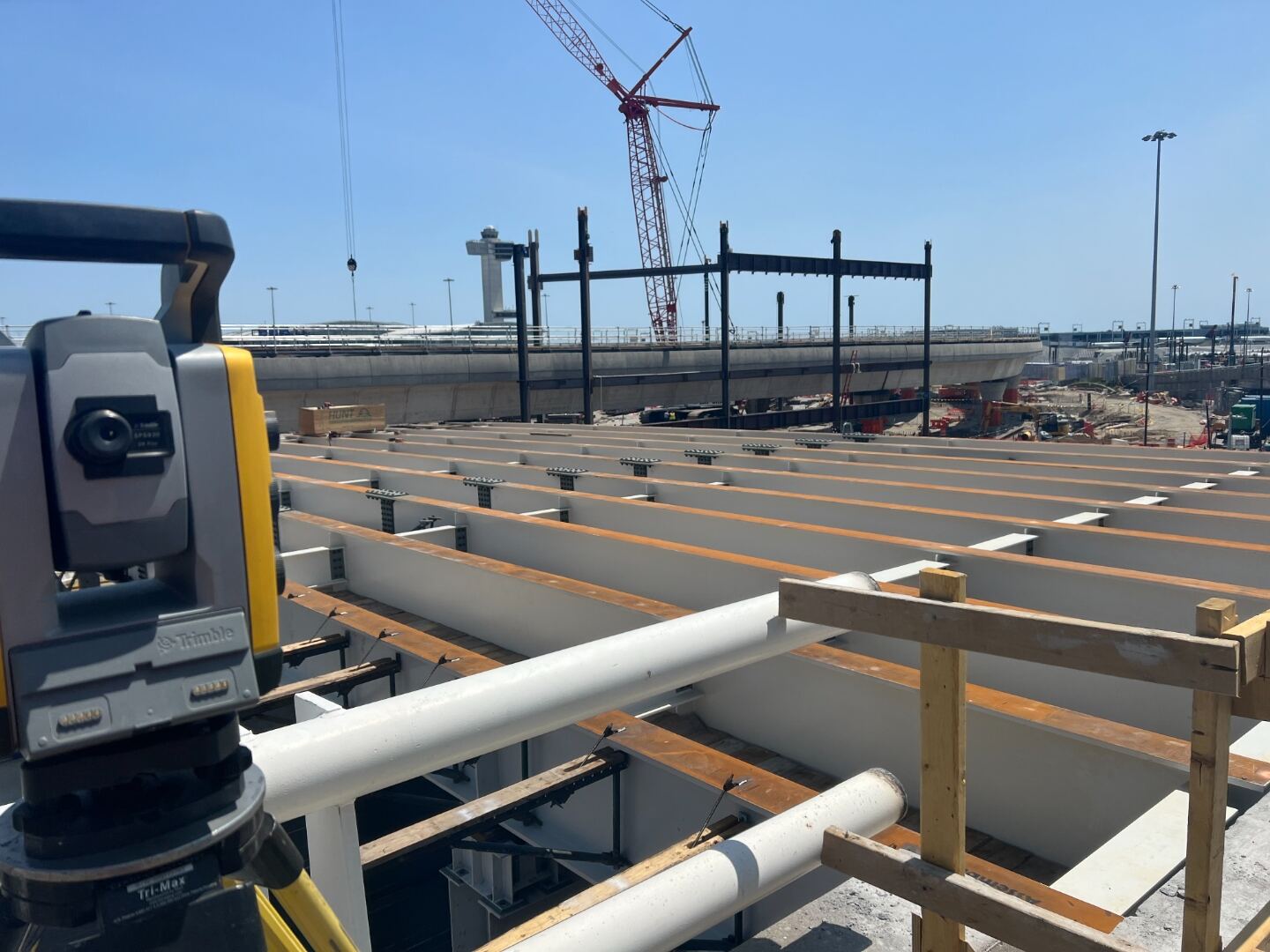
Client — JetBlue Airways
Agency — Port Authority of NY & NJ
Complete pavement-marking location survey across all 30 gates at JetBlue’s T5 — sealed sheets tied to NAD83 (2011) NY-LI State Plane and NAVD88 GEOID 18.
Client — Soil Solutions
Developer — Equinor
Layout and licensed-surveyor sealed as-built of 700+ piles for Soil Solutions at the South Brooklyn Marine Terminal — Equinor’s flagship offshore-wind staging facility in Sunset Park. Coordinates and elevations tied to NAD83 (2011) NY-LI State Plane and NAVD88 GEOID 18, sealed by L.S. for the developer’s record set.
Client — ARCO Design/Build
Developer — Wildflower
Lead project surveyors on a 2.5-acre EV-ready parking center at 160-66 Rockaway Boulevard, Jamaica — anticipated to be the largest 24/7 public EV charging station in NYC. Construction layout, site control, and as-builts tied to NAD83 (2011) NY-LI State Plane.
Client — Beaver Concrete Construction
Agency — NY DOT
Existing-condition as-builts and survey control reports for thirteen NYC DOT Division of Bridges structures across Manhattan and Staten Island — most spanning the Amtrak Empire Line. Sealed deliverables tied to NAD83 (2011) NY-LI State Plane and NAVD88 GEOID 18, coordinated under Amtrak and MTA work-window stipulations.
Client — NYC Parks & Recreation
Agency — NYC Parks & Recreation
Boundary survey, topographic survey, and 100+ tree inventory across the 30+ acre Vernam-Barbadoes Peninsula on Jamaica Bay — mapping encroachment removal, shoreline debris, and wetland fill restoration areas in Far Rockaway, Queens. Sealed sheets tied to NAD83 (2011) NY-LI State Plane.
Client — Keller North America
Agency — NYC School Construction Authority
Pile layout staking and licensed-surveyor sealed as-built for the new P.S. 341 Queens building — micropile groups threaded through and around the Amtrak structure-influence zone, with double-cased caissons inside the zone and single-cased outside. Coordinates and rock-socket positions tied to NAD83 (2011) NY-LI State Plane and NAVD88 GEOID 18, sealed by L.S. for the NYC School Construction Authority record set.
Client — Jingoli Power
Agency — NYPA
Site control and as-built support for the East River Energy Storage Project at NYPA’s Astoria complex — a 174 Power Global battery energy storage system delivered by barge with E-J Electric, Hitachi Energy, Jingoli Power, Donjon Marine, and Bay Crane. Coordinates tied to the NYPA local plant grid and NAVD88 to align with the site’s existing ALTA/NSPS framework and 100-year flood resiliency datum.
Client — Yonkers Contracting Company
Owner — NYC DDC · Borough-Based Jails Program
Signed and sealed boundary, existing-conditions, top-of-rock and SOE surveys for Yonkers Contracting on the $76.7M Bronx site-preparation package at E 141st Street & Bruckner Boulevard — part of NYC's $8.3B+ Borough-Based Jails Program to replace Rikers Island. Top-of-subgrade rock as-built rendered as a graded elevation surface (NAVD88) with 36 one-foot bands, supporting the design-build team's excavation and SOE control.
Client — VRH Construction
Agency — Port Authority of NY/NJ
Established property line, primary control, and column-axis stake-out for the new Avis Rent-A-Car facility on the airfield at JFK — plus full coordination of the steel-fabrication drawings to the field-set column lines. Building corners delivered as published coordinates with 75-ft column-line offsets and 10-ft building-corner offsets, tied to NAD83 NY-LI State Plane and NAVD88 for the Port Authority record set.
Client — 34th Street Partnership
Location — Madison Square Garden · 7th Avenue
As-built, control, and signed-and-sealed stamp drawings plus full ADA-ramp design for eight corner replacements ringing Madison Square Garden along 7th Avenue between W 31st and W 33rd Streets. Truncated-dome pads, granite paving, and curb tie-ins coordinated to NYC DOT corner-design standards under the 34th Street Partnership's BID-led streetscape program.
03 — Why Bullseye
We've built ours on three things: licensed work, modern field methods, and the willingness to pick up the phone. Every drawing that leaves the office sealed by a Registered & Licensed Land Surveyor is carefully reviewed — not delegated, not rubber-stamped.
04 — Backed by Gomez Engineering
Bullseye Survey is a Gomez Engineering, Architecture & Survey company — a SBE/DBE/MBE-certified company with decades of experience on heavy civil, transportation, and commercial projects across the tri-state area. When a job calls for civil design, drafting, or UAV work, you get the full Gomez bench without changing vendors.
Union-affiliated staff. Surveying operating engineers who work in trade harmony on every site. All about construction. Quality control beyond the survey scope — from anchor-bolt tolerances to stormwater impacts.
05 — Process
Send us the project or address along with your needs. Within one business day we return a proposal with clear deliverables and timeline.
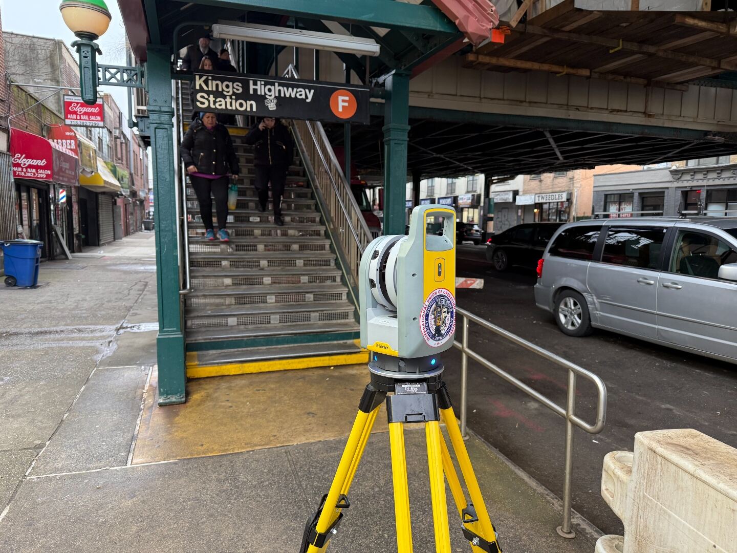
Crew mobilizes with robotic total station and RTK GNSS. We tie to local control, research record monuments.
Field data is reduced, adjusted, and drafted to your spec. Every plat is independently QC'd and reconciled against deed and title research.
Sealed PDF and DWG delivered electronically; wet-sealed originals on request. We stand behind the survey and answer your reviewer's questions.
06 — Coverage
Headquartered in the New York City area, our crews routinely work Staten Island, Queens, Brooklyn, Manhattan, the Bronx, and across the Hudson into Hudson, Bergen, Essex, Union, and Middlesex counties.
07 — Team
Every drawing is sealed by a Registered Architect & Licensed Land Surveyor with skin in the game — not delegated, not rubber-stamped.

Principal · Bullseye Survey, a division of Gomez Engineering, Architecture & Survey, PLLC

Principal · Bullseye Survey, a division of Gomez Engineering, Architecture & Survey, PLLC
08 — Contact
Tell us about the project — we'll respond with a proposal within one business day.